Water temperature
—°F
— °C
Measured minus predicted, ft. The dotted line is the usual offset between our gauge and NOAA’s Olympia prediction; above it, wind or low pressure is holding extra water in the inlet.
NOAA predictions for Olympia, feet above MLLW.
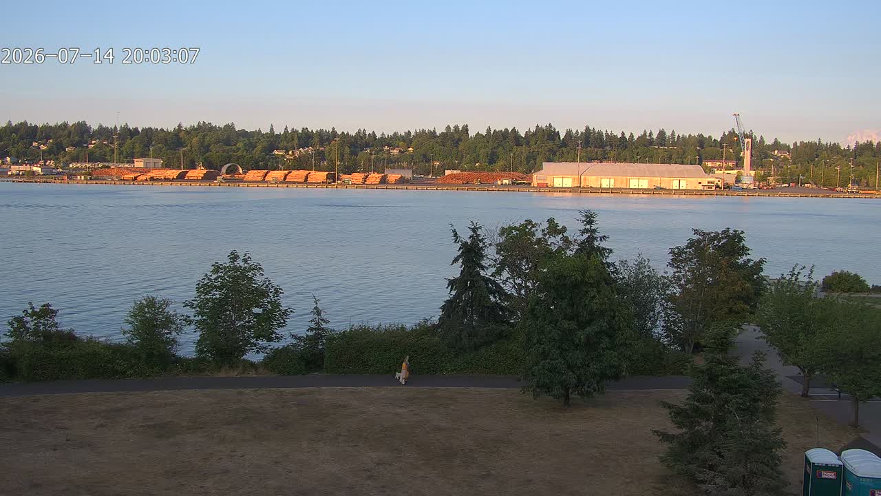
Loading camera…
NOAA’s predicted high and low water for Olympia, in feet above MLLW. Pick any date.
No prediction available for this date.
Select a day to show its curve. Olympia is a NOAA subordinate station: four official times and heights a day, corrected from Seattle.
The same gauge record, taken further: a live forecast, the tide broken into its astronomical parts, a working model of a tide-predicting machine, and the tide wave moving down the Sound.
Sun, Moon and planets over Olympia right now. Drag to turn the dome.
Loading…
Moon declination: —
The Moon’s declination, how far north or south of the equator it sits, drives the daily inequality: the difference between the two high waters, or the two low waters, in one day.
This board shows the tide at the Port of Olympia two ways at once: what the water is actually doing, and what it was predicted to do. Together they show not just the tide, but how today differs from the textbook.
The large reading is the live water level from our own sensor, in feet above mean lower low water (MLLW), refreshed every couple of minutes. The arrow beside it shows which way the water is moving and how fast, from a straight-line fit to the last half hour of readings. A sideways arrow means the tide is near slack: barely moving, around high or low water. The bar underneath shows how far we are between the last tide and the next.
Measured at our dock (solid): the real water level from our pressure sensor at the port. An actual measurement, not a forecast.
NOAA predicted (dashed): the astronomical tide NOAA expects. It comes from harmonic constituents, a tide “fingerprint” of dozens of cycles driven by the moon and sun, measured from past observations and projected forward like clockwork. It is math from history, not a live reading. The shaded area to the right of “Now” is prediction only.
NOAA does not operate a live gauge in Olympia (Budd Inlet); their Olympia numbers are predictions only. A prediction knows the moon and sun but cannot see today’s weather. Real water is pushed higher or lower by wind, barometric pressure, rainfall and river inflow, and storm surge. Our gauge captures those effects, so the gap between the two lines is the “weather residual”: the part of the tide the astronomy can’t predict. A big storm with low pressure, for example, can raise real water well above the predicted level.
Under the chart, the gap is plotted by itself (measured minus predicted) on the same timeline. It does not sit exactly on zero. Our heights are on NOAA’s official Olympia MLLW datum, carried to the gauge by a survey in July 2026, while NOAA’s Olympia prediction rests on datums from a one-year record taken in 1977–78. Lately, measured water here has run slightly off from the prediction on average, and we are still working out why. The dotted line marks that usual offset, estimated continuously by our Kalman filter, so what the weather adds or takes away is the distance from the dotted line, not from zero.
The smooth predicted line hides a small secret: NOAA doesn’t actually publish a curve for Olympia. It publishes only the points: the times and heights of each high and low tide.
Tide predictions come from harmonic analysis. The tide at any location is the sum of dozens of precise astronomical rhythms (the moon’s orbit, the sun’s pull, the tilt of each) whose strengths are measured from years of water-level records. Stations with a full set of these harmonic constituents, like Seattle, can generate a true predicted curve for any minute of any day. Olympia is what NOAA calls a subordinate station: it has no constituents of its own. Its predictions are made by taking Seattle’s highs and lows and applying fixed corrections. The tide arrives in Budd Inlet a little later and swings a little bigger, since our long, narrowing inlet funnels and amplifies the wave as it travels down Puget Sound. The result is four official numbers a day, and nothing in between.
Any smooth line drawn between those points, including the one on NOAA’s own website, is an approximation. Rather than connect the dots with a generic curve, this board borrows the shape of Seattle’s full harmonic prediction for each rise and fall, then pins it exactly to Olympia’s official high and low values. It’s the closest thing to a real predicted curve that exists for Budd Inlet.
The measured line is the real thing: live water level from the Port’s own tide gauge on the dock below. Where measured and predicted disagree, you’re seeing weather: wind piling water into or out of the inlet, and barometric pressure pressing the sea surface down or letting it rise. The astronomy is predictable to the minute; the atmosphere keeps things honest.
| Serial | Measurement | Value | Unit |
|---|---|---|---|
| Loading… | |||
Heights on this board are the raw pressure depth plus the surveyed datum offset: the top of the gauge is 22.15 ft above MLLW and the sensor sits 28.5 ft below it. The recorded readings themselves are never altered.